Berrys provided Flood Risk Assessment (FRA) services to support a planning application for the proposed installation of a photovoltaic (PV) solar farm located on the infield area of a former RAF airfield to the east of Shrewsbury. The proposed development entailed the proposed installation of a solar farm including supporting infrastructure such as switch gear units, and access routes.
How We Approached The Project
When carrying out FRAs, we follow the recognised industry standard approach of utilising the Source > Pathway > Receptor model of assessment. To inform this process we gathered the required data from various sources including the following:
- Fluvial and surface water flood data and maps supplied by the Environment Agency,
- Local data and information from the Lead Local Flood Authority (LLFA), including information from the Strategic Flood Risk Assessment (SFRA),
- Geology and ground data obtained from the British Geological Survey (BGS),
- Information on the predicted climate change within the local catchment area.
How We Achieved The Project
After an initial assessment of the flood risk using data supplied by the Environment Agency and other various resources including the British Geological Survey (BGS) and the LLFA, I t was determined that the proposed development site is at risk of flooding from surface water and from localised fluvial flooding from a nearby ordinary watercourse. Our assessment also found that the ordinary watercourse had been culverted below a section of the former airfield to the north, which resulted in elevated flood risk through parts of the site due to the potential for the culvert being blocked.
We evaluated the flood map data and carried out a flood level assessment using the site topographic survey. This information was then checked against the proposed site layout and a number of flood risk issues were identified. We then worked with the wider design team to refine the site layout to ensure that critical infrastructure would not be impacted by flood risk. Our assessment of flood levels also proved that the proposed PV panels would not be at risk of being damaged by flood water flows. Furthermore, as the proposed panels were to be erected on slender screw piles, we determined that flows across the site would not be materially affected by the development. We also demonstrated that the proposed PV panels would not alter the existing site hydrology, and therefore the development would have no impact to the existing greenfield runoff rates from the site.
Our assessment concluded that, overall, the proposed development had been designed to ensure that the proposed infrastructure was resilient to local flood risk, and we considered that the proposals did not increase the risk of flooding downstream. The FRA was accepted by the LLFA with no questions or issues raised over our assessment methodology.


 Architecture
 Online Auctions
 Building Surveying
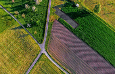 Business, Land Use & Finance
 Charity Property Advisory
 Development Management
 Energy & Sustainability
 Engineering & Land Surveying
 Heritage & Archaeology
 Planning
 Property Agency
 Property Litigation Support
 Property Management
 Rural Landlord & Tenant
 Strategic Land
 Valuation
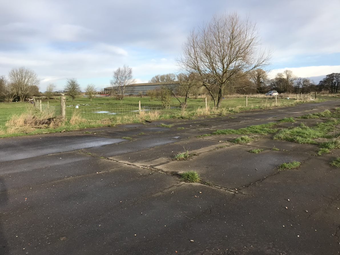