Richborough is preparing an outline planning application for a new housing development on the western edge of Whitchurch. The proposal comprises the development of around 275 dwellings – to include affordable homes for sale and rent – plus new public open space, the retention of much green infrastructure and improvements to the existing public right of way.
About Richborough
Founded in 2003, Richborough is one of the UK’s leading strategic land promotion businesses. It was founded with the aim of working responsibly, and in partnership with, landowners, communities, local planning authorities and local stakeholders to deliver much-needed development. Richborough’s ethos is to strive to create sustainable developments which are of a high quality and which integrate sympathetically with their surroundings.
Please read on to see what is proposed, what happens next and how to get involved.
Drawing for illustrative purposes only.
The Site and Surroundings
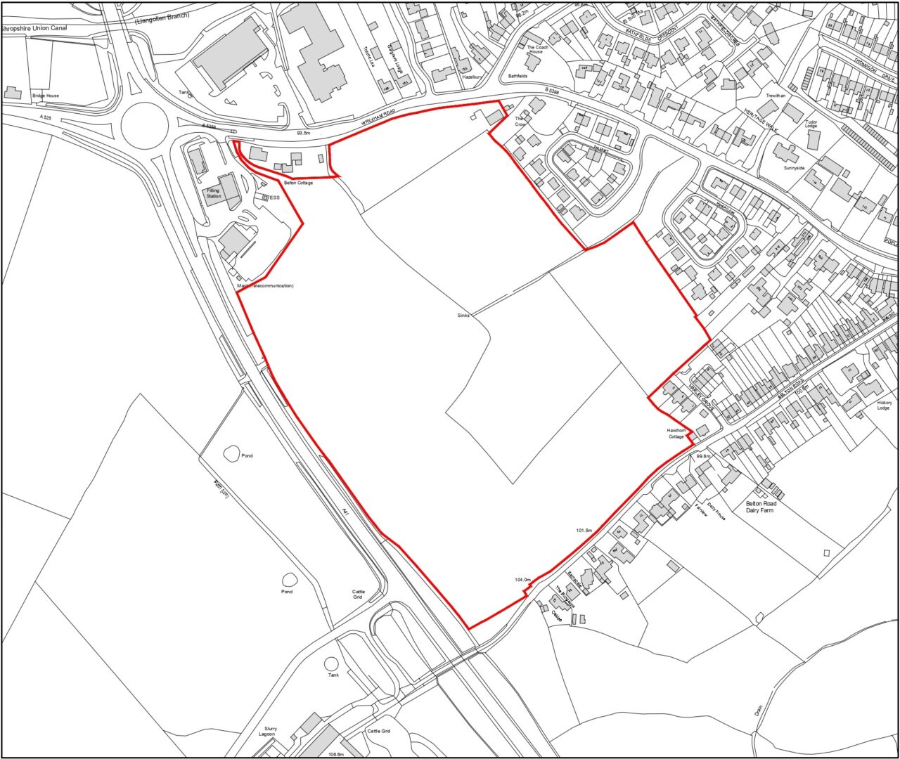
The site lies on the western edge of Whitchurch and extends to 28.54 acres (11.55 hectares). It forms a roughly rectangular parcel of land, bounded by the A41 Whitchurch Bypass, Wrexham Road, Belton Road and the existing built-up edge of the town. It adjoins the settlement boundary shown in the adopted Local Plan and thus forms the next logical step for the expansion of Whitchurch in this direction.
The site is presently in agricultural use. It comprises five fields, of varying sizes, separated by narrow hedges and scattered hedgerow trees. A public right of way crosses the north west corner of the site, close to the McDonalds car park.
The landform is undulating, although not steep. A ditch rises in the middle of the site and runs east from here towards the town. Land slopes down towards this ditch, with the highest point being the south west corner.
The site contains one building – an agricultural shed – in its north east corner. The southern and eastern edges of the site are flanked by existing, mostly modern housing. The northern edge faces Wrexham Road and the commercial development located along it. The western edge is defined by the bypass.
Site Location Plan
The plan above shows the extent of the proposed development on an existing plan of the area.
What is Being Proposed?
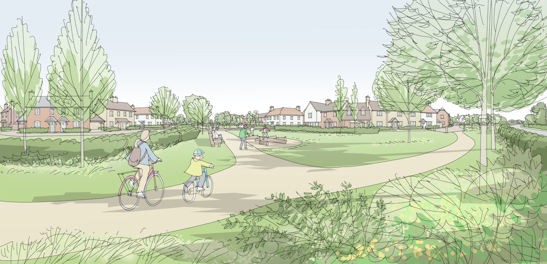
Whitchurch West is a sustainable new development which will offer an abundance of open space and a choice of homes for sale and rent. Houses will be laid out around a network of green spaces and walking routes, which will bind the development to the town. Our illustrative framework plan shows:
• Around 275 new homes, both for sale on the open market and as affordable housing
• A range of house sizes across the site, from one to four bedrooms
• Affordable housing to comprise both homes for sale and homes for rent
• Specialist housing to be provided for the elderly and disabled
• Access for vehicles to be taken from the bypass
• Access on foot to be taken from various points on the bypass, Wrexham Road and Belton Road
• No vehicular access to be taken from Belton Road
• A development built around safe, direct and clearly-marked walking and cycling routes, with the public right of way retained and surfaced
• Various types of public open space to be provided in a range of locations across the site
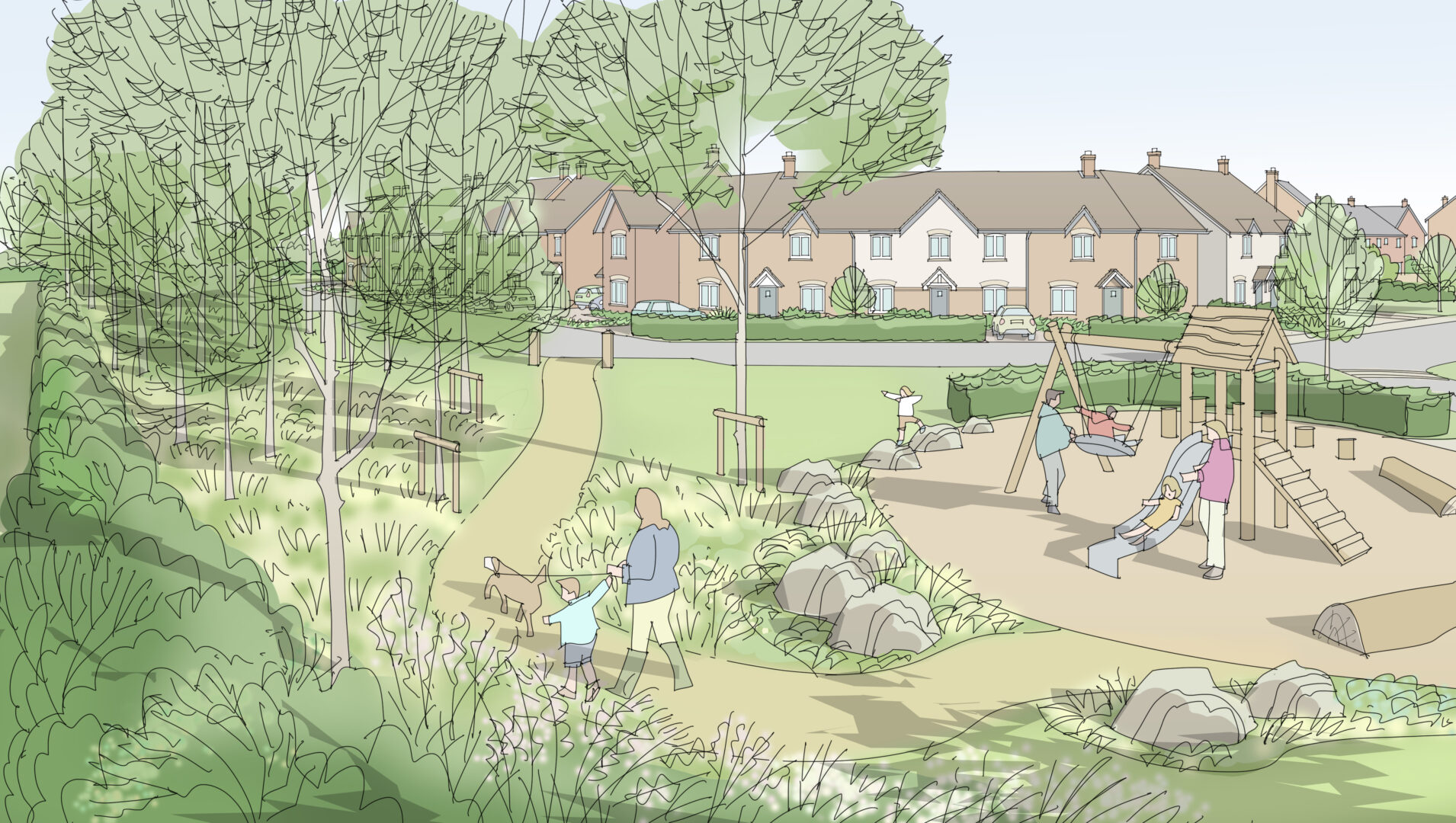
• Children’s playspace and play equipment proposed throughout the site
• Key habitat features, such as trees and hedgerows, to be retained and enhanced to deliver a net gain in biodiversity
• A network of ponds to store rainwater run-off, deliver new habitat and act as the centrepiece for areas of public open space
Drawing for illustrative purposes only.
Why Is The Development Needed?
Like all local authorities, Shropshire Council has been set an ambitious housing delivery target by the Government. Almost 2000 new homes will need to be built each year to meet this target. Whitchurch West will ensure the town is able to play its part in a planned and sustainable way.
Illustrative Framework Plan
The plan above shows our current thinking on how the site could be developed. Please bear in mind that the forthcoming planning application will be made in outline. This means we shall be applying for the principle of development and the location of the access only. The eventual form of development may differ from what is shown here.
Technical Matters
Access
The site will be laid out around a network of walking and cycling routes. These will provide easy access to the surrounding streets and to Whitchurch town centre, which is one mile away. Five traffic-free access points are proposed for walkers and cyclists: three on Wrexham Road, one on Belton Road and one on the bypass.
In addition to these routes, an all-purpose vehicular / foot / cycle access is proposed on the bypass. All traffic will, therefore, enter the site from the west.
A Transport Assessment and a Travel Plan are being prepared to support the planning application. These will assess the impact of the development on the surrounding roads and junctions, as well as setting out how the development proposes to minimise travel by car.
Flood Risk and Drainage
The Environment Agency’s flood map for planning shows that the whole site lies within Flood Zone One with regard to river flooding. This is the lowest risk category. The map also shows that the bulk of the site is unaffected by surface water flooding.
A Flood Risk Assessment has been prepared which demonstrates that the proposed development bears an acceptable level of flood risk. The locations of the drainage ponds shown on the Illustrative Framework Plan have been informed by a Concept Drainage Strategy.
Heritage
The site does not contain any designated heritage assets, such as listed buildings or scheduled monuments.
A Heritage Assessment has been prepared for submission with the outline planning application. This concludes that the development will not harm any heritage assets in the surrounding area.
Biodiversity
A Preliminary Ecological Appraisal Report has been prepared and will be submitted with the outline planning application. The Report includes recommendations for further species surveys and outlines opportunities for ecological enhancements. These enhancements include proposed native planting with pollinator-friendly plant species.
In order to satisfy planning regulations, the development must demonstrate at least a 10% net gain in habitat value compared to what exists today. A biodiversity net gain calculation is underway and will be submitted with the outline planning application.
The site is not designated as any kind of protected habitat or wildlife site.
Trees and Landscape
A Tree Constraints Plan has been prepared which shows sixteen trees of good or moderate quality across the site. The intention is to retain all of these trees as part of the development. An Arboricultural Impact Assessment has also been prepared for submission with the planning application. This sets out how best to protect the trees during and after the build-out of the development.
In addition, a Landscape and Visual Impact Assessment is being prepared for submission with the planning application. This will assess views of the site from specified viewpoints in the surrounding townscape and countryside. The site is not subject to any protected landscape designations.
Have Your Say
Our sustainable new development offers the opportunity to bring some tangible benefits to existing residents of this part of Whitchurch.
We would like to know which of these benefits are most important to you and we would like your suggestions as to how we can deliver them through good planning and design.
We would invite you to look through the questions below and send us your thoughts on those you think are most important to you.
1. Does the network of walkways and cycleways match where you think new residents will want to go?
2. Do you agree with our approach of building the green network around the sustainable drainage ponds?
3. What facilities would you like to see across the green network, for example, seating, wildflower borders, children’s play equipment?
4. What types and sizes of housing do you think are most needed in Whitchurch?
5. Do you agree with our approach of directing traffic away from Belton Road and Wrexham Road?
6. Would you be interested in living in this development, were it to be built?
Please send your thoughts, ideas and feedback to the following email address by Tuesday 27th January:
whitchurchwest@berrys.uk.com
Please remember to include the relevant question number(s) in your response.
Timeframe and Next Steps
Richborough intends to submit an outline planning application to Shropshire Council in the next few months. You will have the chance to comment on the proposal formally to the Council once this happens. This will be a separate process from the feedback we are seeking through this webpage.
Details of the application will be uploaded to the Council’s website at the address below:
Once the application has been submitted, you can use this link both to view and to comment on the proposal.
The Council should make a decision on the application later this year. If approved, detailed plans of all homes and spaces will then need to be submitted to the Council within three years. Development will not begin until these detailed plans (known as reserved matters) have been approved.


 Architecture
 Online Auctions
 Building Surveying
 Business, Land Use & Finance
 Charity Property Advisory
 Development Management
 Energy & Sustainability
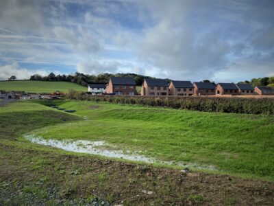 Engineering & Land Surveying
 Heritage & Archaeology
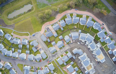 Planning
 Property Agency
 Property Litigation Support
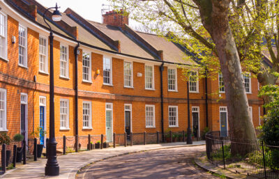 Property Management
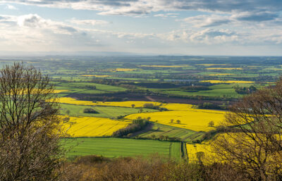 Rural Landlord & Tenant
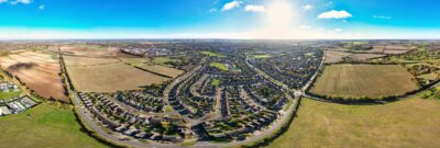 Strategic Land
 Valuation