The proposed development comprised internal renovation to the ground and lower ground floors of the existing building, entailing the conversion of the existing ground floor office space into sleeping accommodation with the lower ground floor being utilised as the main living space with a kitchen, bathroom, & sitting room.
How We Approached The Project
When carrying out FRAs, we follow the recognised industry standard approach of utilising the Source > Pathway > Receptor model of assessment. To inform this process we gathered the required data from various sources including the following:
- Product 4 flood level data and maps supplied by the Environment Agency,
- Local data and information from the Lead Local Flood Authority (LLFA), including information from the Strategic Flood Risk Assessment (SFRA),
- Geology and ground data obtained from the British Geological Survey (BGS),
- Information on the predicted climate change within the local catchment area.
How We Achieved The Project
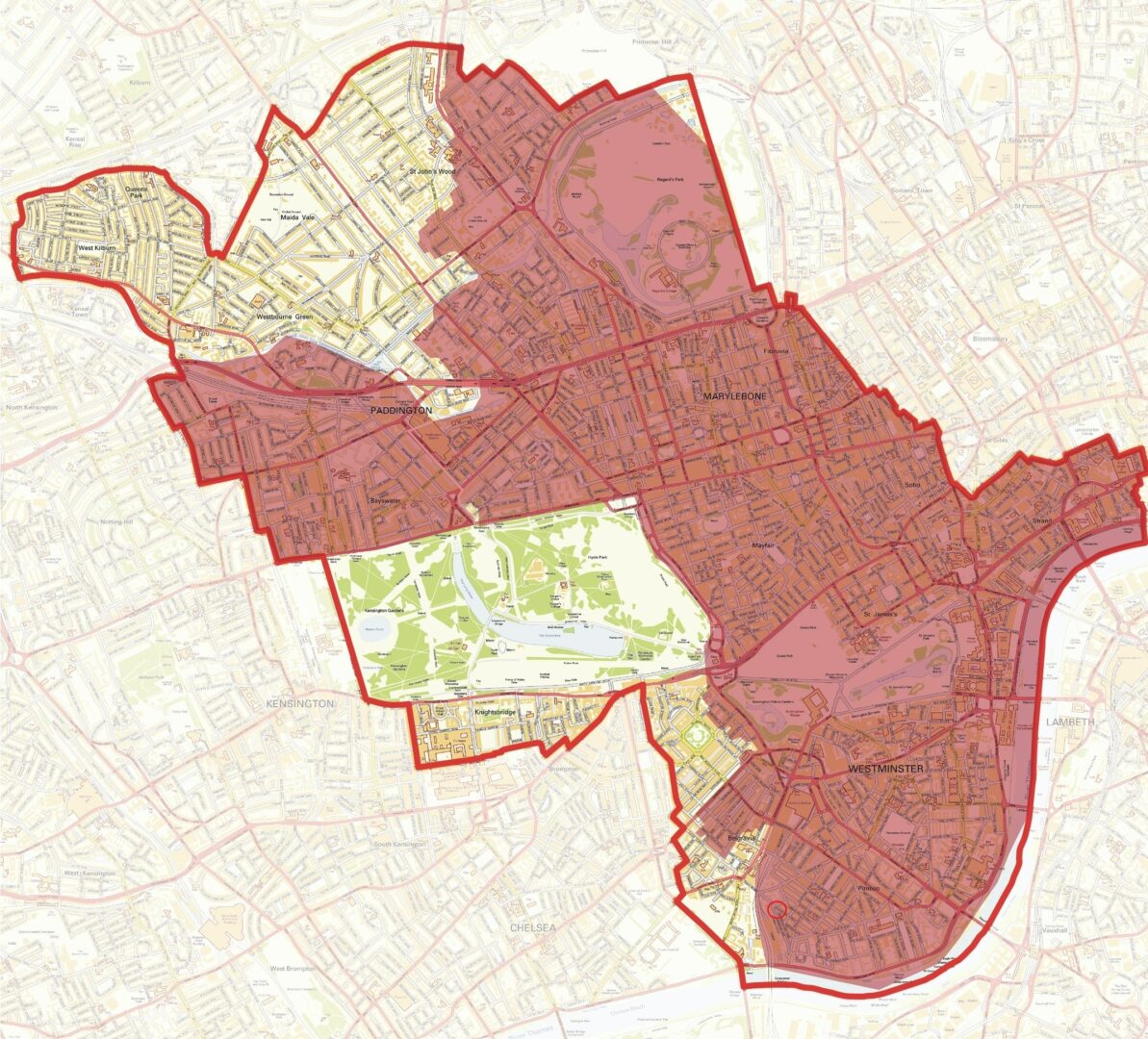
From our initial desktop assessment, it was apparent that the site fell within designated Critical Drainage Area (CDA). A CDA is a non-statutory designation by the LLFA for a discrete geographic area, usually a hydrological catchment, where multiple and interlinked sources of flood risk (surface water, groundwater, sewer, main river and/or tidal) cause flooding in one or more Local Flood Risk Zones. The site is also situated within an area designated as being in Flood Zone 3 for fluvial flood risk but benefiting from existing flood defenses (river wall and Thames Flood Barrier). It was therefore clear that a number of flood sources could potentially impact the proposed development as the receptor, and further investigation of the flood flow pathways would be required. The following issues were therefore investigated further:
- Site levels in relation to fluvial flood levels and the levels at which the existing defences would protect the site,
- A review of the predicted river levels due to climate change to determine whether they would provide adequate protection for the lifetime of the proposed development,
- Further investigation and analysis of local surface water flood risk and how this might impact the property, due to the site location within an area designated as a Surface Water Flood Risk Hotspot.
The above sources and related pathways were discussed and addressed in our FRA report, with a risk rating applied to each issue. Appropriate mitigation measures were then provided in order to control the level of risk posed.
When proposing mitigation measures, it is important to ensure that these are proportionate and reasonable for the type and scale of development proposed. In the case of this property, due to the site location within a local flood risk area, it would not be feasible to completely remove the risk of flood water ingress. Furthermore, as an existing historic building it was not possible to alter any local levels. Therefore, the measures proposed included flood resistant materials and construction techniques to limit the impact and level of remediation required following a flood event. Due to the below ground accommodation within the basement, one-way flow valves were proposed on the sewer outflows to protect the property from ‘black water’ sewer flooding. Information was also provided as to the requirements for the ongoing operation of the mitigation measures.
Our assessment concluded that overall, the proposed development had been designed to ensure that the proposed infrastructure was resilient to local flood risk, and we considered that the proposals did not increase the risk of flooding downstream.


 Architecture
 Online Auctions
 Building Surveying
 Business, Land Use & Finance
 Charity Property Advisory
 Development Management
 Energy & Sustainability
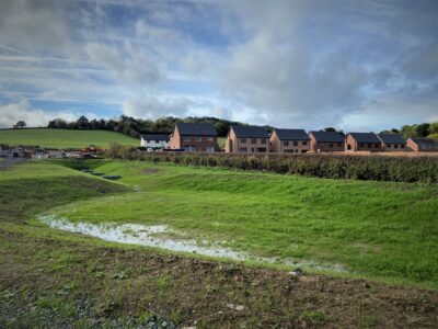 Engineering & Land Surveying
 Heritage & Archaeology
 Planning
 Property Agency
 Property Litigation Support
 Property Management
 Rural Landlord & Tenant
 Strategic Land
 Valuation
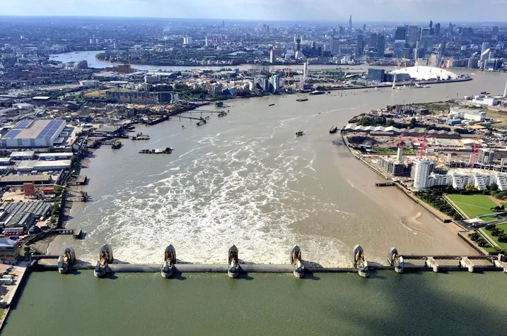